HPT 101: Lesson 7: The Grand Canyon
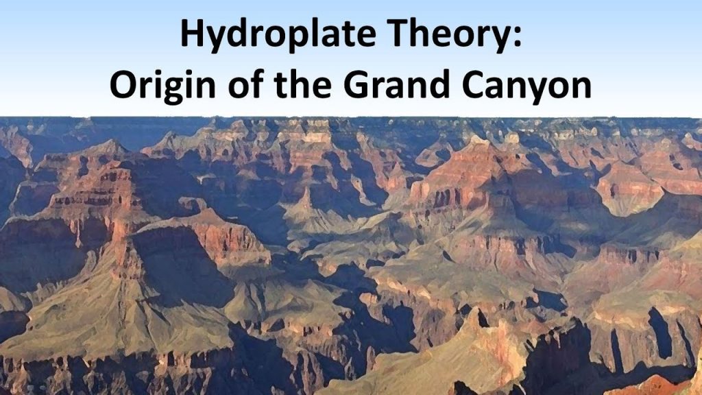
Did the Colorado River cut the Grand Canyon? This idea has been popular over the past century or so, but as we will see, it is fairly easily disproved. We’ll discover a much better theory, which explains not only the canyon but also many other geological features in this area that are a mystery to mainstream geology.
****************************
VIDEOS:
Video 7A: My introduction to the Grand Canyon area (24 minutes)
Maps to download and print: Maps for video 7A HPT101
Video 7B: Bryan Nickel’s very thorough video about the canyon
This video is about 90 minutes long, so you probably won’t want to watch it all at once. Here is a summary of the major sections. The end of each section is a nice place to take a break. If you can’t get through the whole thing, that’s okay. Even if you can do the first half, you will get the gist of it.
0:00- 19:47: A review of a lot of the material we’ve covered in previous videos. Nice review though, and also some new info here and there.
19:47 – 35:05: A look at two ancient lakes, Grand Lake and Hopi Lake, (which are gone now) and an overview of what other interesting features are found in this area where the lakes used to be. The catastrophic draining of these lakes explains all these features.
35:05 – 48:40: Info about the Inner Gorge and an event called the Great Denudation where a massive top layer (Mesozoic sediments) has to be removed even before the canyon can be formed.
48:40 – 58:45: The first part of canyon formation: cutting the “funnel” between Vermilion and Echo Cliffs, and the formation of Marble Canyon.
58:45 – 1:25:02: More very specific details about the sequence of events that caused barbed side canyons, and the formation of the Kaibab Plateau and the Inner Gorge. If you find this section too technical, that’s okay, don’t worry about catching ever detail, just glean what you can and be impressed at how incredibly detailed this explained can be (compared to the vague stories that most geologists tell).
1:25:02 – end: We find out the final resting place of all the sediments removed from the canyon.
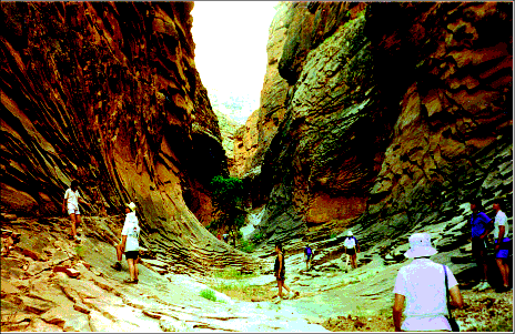
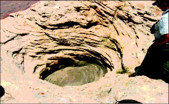
Here are some photos of strange places in and around the canyon that HPT can explain:
The hole is a “pothole” at the top of Echo Cliff.
*******************************************************
Suggested activities for this lesson:
Activity 7,1: Spend a little time exploring the canyon area using Google Earth
You don’t have to download the Google Earth program. It is now cloud-based, so it does not use up your computer’s memory. You can also use “street view” in many places to get the exact view you would see if you were really standing there in the canyon.
Activity 7.2: TBA
I hope to post a few craft or food projects here at some point.
********************************************
SUGGESTED FOLLOW-UP ACTIVITIES for students using this course for credit:
READING: Read the chapter titled “The Origin of the Grand Canyon”
Feel free to skip the section where he summarizes all the other theories about how the canyon formed. It’s great he puts them in there, but it’s probably more info that you want to take in right now. Basically, most of them say the river carved the canyon.
DRAWING LESSON: A video drawing lesson about layers in the canyon (72 minutes)
If you have not already done my Rocks and Dirt curriculum, and you like to draw, you might enjoy this video drawing lesson where we learn the names of many of the layers and find out what they are made of and which ones have fossils. Here is the template page you will need to print out: Grand Canyon geological layers coloring page


